Sarge502
Well-Known Member
- Thread starter
- #1
So I'm going to finally hit up Windrock Park in July. Just looking for some overall insight. My actual destination is technically Gatlinburg to my son's b-ball tournament. But I'm planning to have enough time to hit the park. Im traveling from Louisville KY so not too far. But I will only have a full day to play due to scheduling. So I'm more along the lines of passing through, but able to stay and play for a day. But because of that I'm limited on time and don't want to waste any.
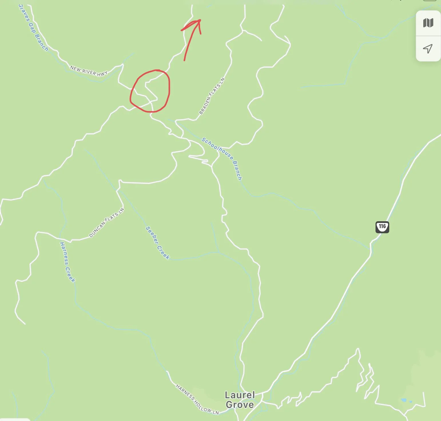
In any case been doing a little research on Trail 51 specifically and have a couple of questions for maybe some of you locals or those who have experience with the park and that trail. With the park being so large I've noticed that a lot of trails (including panther rock) are not located near the main entrance area. Or even close for that matter. And that some take a bit of navigating to even get to the trail, let alone doing it.
So with that said. Im trying to plan out my route since I don't have a lot of time, I dont want to waste any simply trying to locate panther rock. I'm not trying to download the Windrock app either. Not a matter of being cheap. Ive just heard from many its not worth it, and is kind of a waste. Besides it doesnt give you way points to trails anyways, just shows your location within the trail system. You'd still have to navigate regardless.
I've heard you can get to Panther Rock from the North which is the route I'd be taking to get to Windrock anyways coming from KY. If true, it would make sense for me to hit Panther Rock before getting further south down into the main entrance area of Windrock near the general store and camping area. Since I know Panther Rock is located northeast of the main entrance.
So I guess my questions are for Panther Rock specifically...
1) Can it be accessed from the North? If so what's the best route from 116 off I-75 once past Briceville? Or can it only be access from the south/main WIndrock entrance area, and best route from there if so?
2) How possible is it complete in a semi stock Overland? Overland has a full Rubicon suspension with leveling kit, and 35s for the most part. Nothing else major, no lockers, disconnects etc.
Sponsored
Last edited: