ShadowsPapa
Well-Known Member
- First Name
- Bill
- Joined
- Oct 12, 2019
- Threads
- 247
- Messages
- 40,442
- Reaction score
- 53,859
- Location
- Runnells, Iowa
- Vehicle(s)
- '25 JTMX, '23 JLU 4xe, '82 SX4, '73 Javelin
- Occupation
- Retired auto mechanic, frmr gov't ntwrk security admin
- Vehicle Showcase
- 3
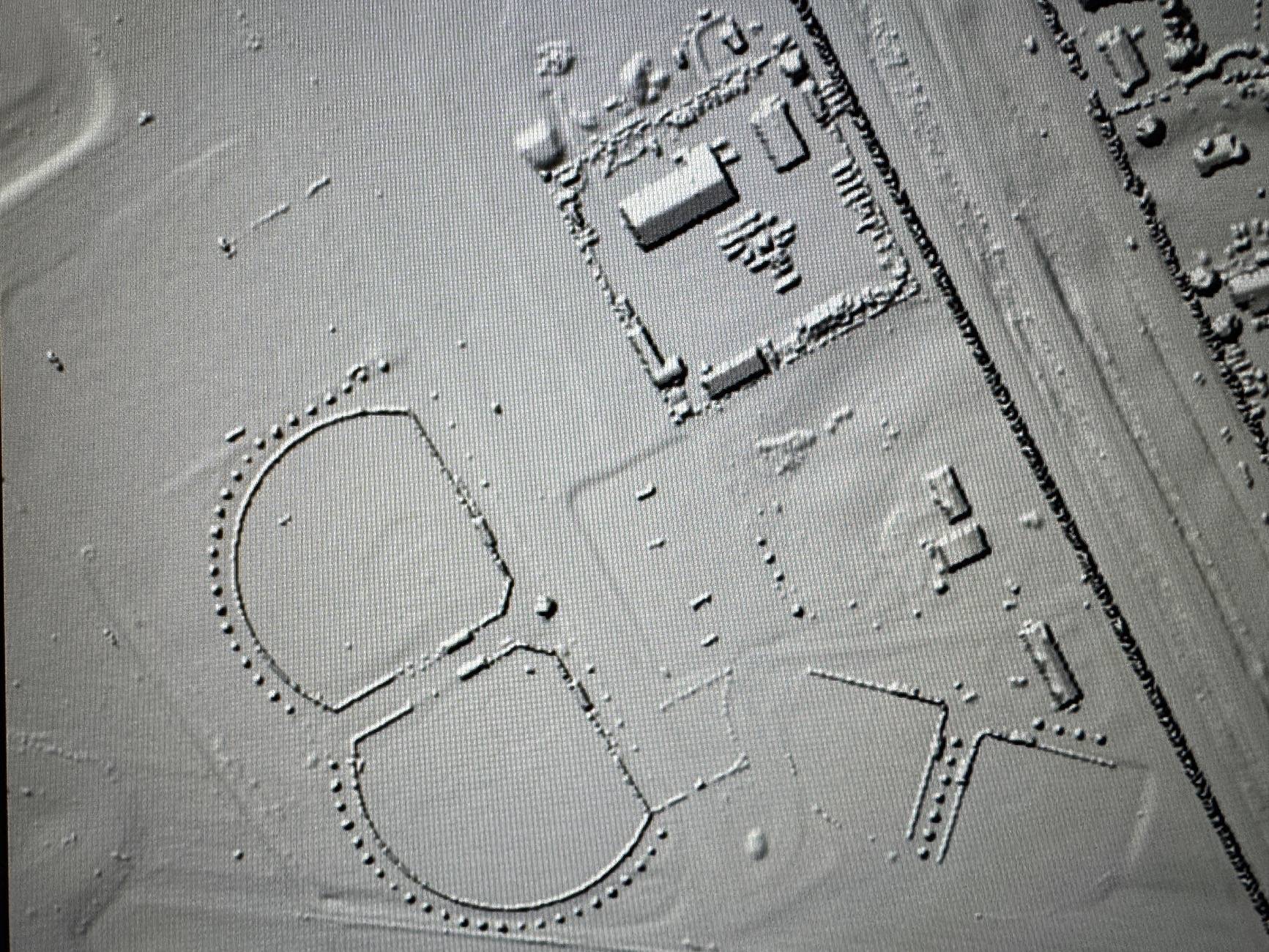
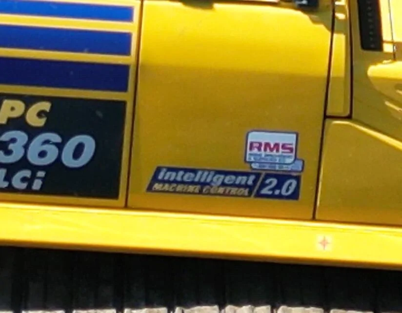
Wish I could recall what the equipment said on the side - I might have pictures. The excavator, for example, the guy showed me that once the thing got to the bottom, any further attempt by him, the operator, to go deeper resulted in the thing blocking him. He could raise it, but not lower it. The dozer was also GPS controlled - it had a map of the road bed in it as well as the grades for erosion control and so on - and they had to operate more slowly than you typically see for the GPS to keep up, but it was a similar thing with the dozer on the final road bed grading - the blade could not be lowered by operator - it was controlled by the machine itself. He could only raise it to turn, back up and so on.
The whole CREEK is mapped out according to the county! Direction of water flow, erosion areas, depth of the bottom at any given point and so on.
Crazy amount of data.
It fascinated the heck out of me to dig into it, ask them questions and so on.

The whole CREEK is mapped out according to the county! Direction of water flow, erosion areas, depth of the bottom at any given point and so on.
Crazy amount of data.
It fascinated the heck out of me to dig into it, ask them questions and so on.
Sponsored