cgflyer
Well-Known Member
- First Name
- Steve
- Joined
- Mar 15, 2019
- Threads
- 15
- Messages
- 526
- Reaction score
- 375
- Location
- Lorton, VA
- Vehicle(s)
- 2020 Gladiator Rubicon MT, 2013 Ford Focus ST
- Occupation
- United States Coast Guard
That is good to hear, I am leaning towards the tablet as well, but didn't know what mapping app/software to use. So knowing Garmin Explore worked, will likely be my way to go. I have a CMM mount on my grab bar too for this same purpose. Not that I want to do a ton of video watching while on the trail, it will be nice to have a tablet that can do things other than just navigate although I will likely have my laptop and phone and e-reader lol...maybe I don't need a tablet hahaWe did 1100 miles of the TAT from WV to NC in September. I used a Samsung Galaxy TabE running Garmin explore, which is free. It accepts direct import of Sam's tracks, and was THE BEST thing to have for the trip.
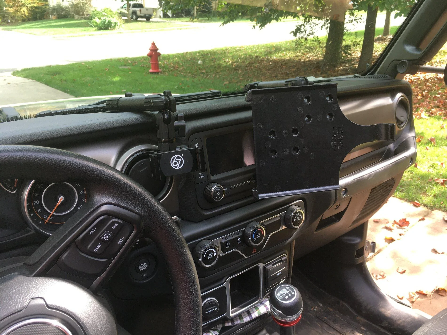
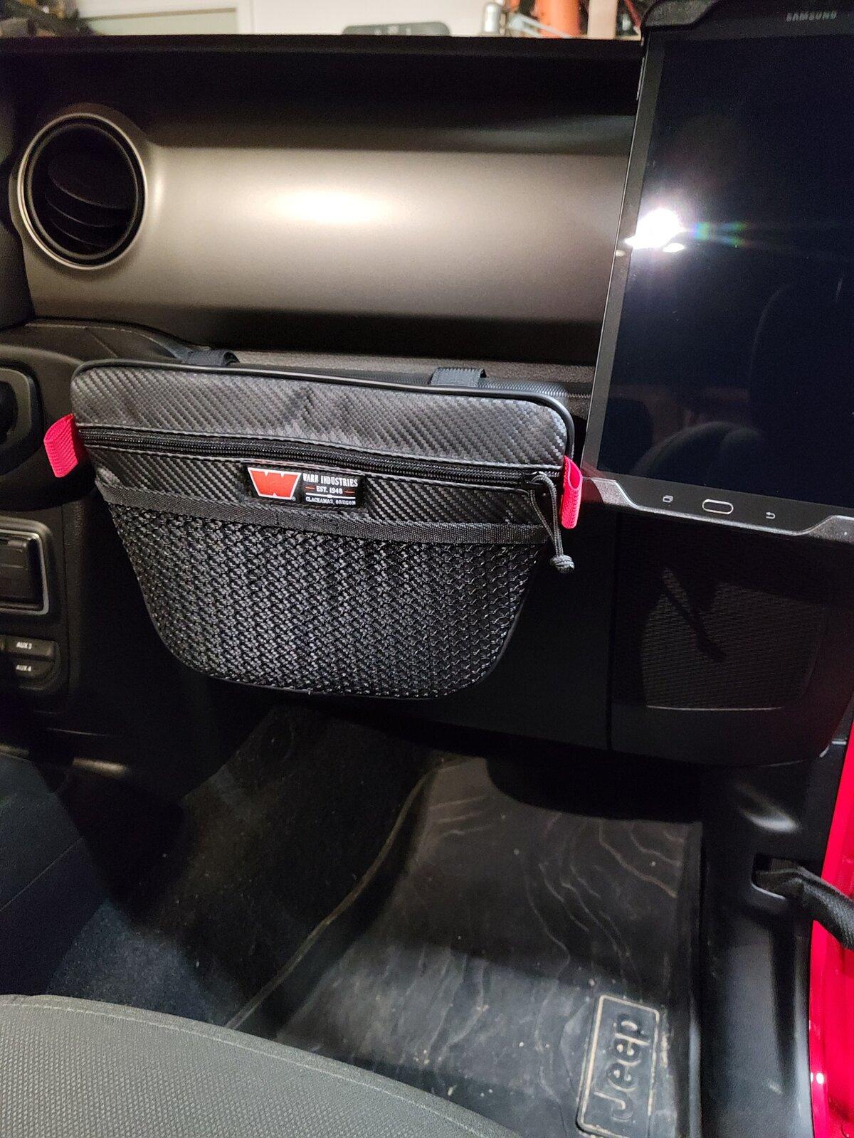
I have the tablet mounted to my CMM mounts on the navigator's side.
We have to re-route several times due to bridges washed out, etc. It was ideal for that purpose.
I also converted the tracks to turn-by-turn for my Garmin road GPS. It was okay, but the Tablet with Garmin explore was amazing.

Sponsored