UTRocky
Well-Known Member
- First Name
- Rocky
- Joined
- Jan 15, 2025
- Threads
- 17
- Messages
- 150
- Reaction score
- 101
- Location
- Toledo, OH
- Vehicle(s)
- '23 Jeep Gladiator JT - Willy
- Thread starter
- #1
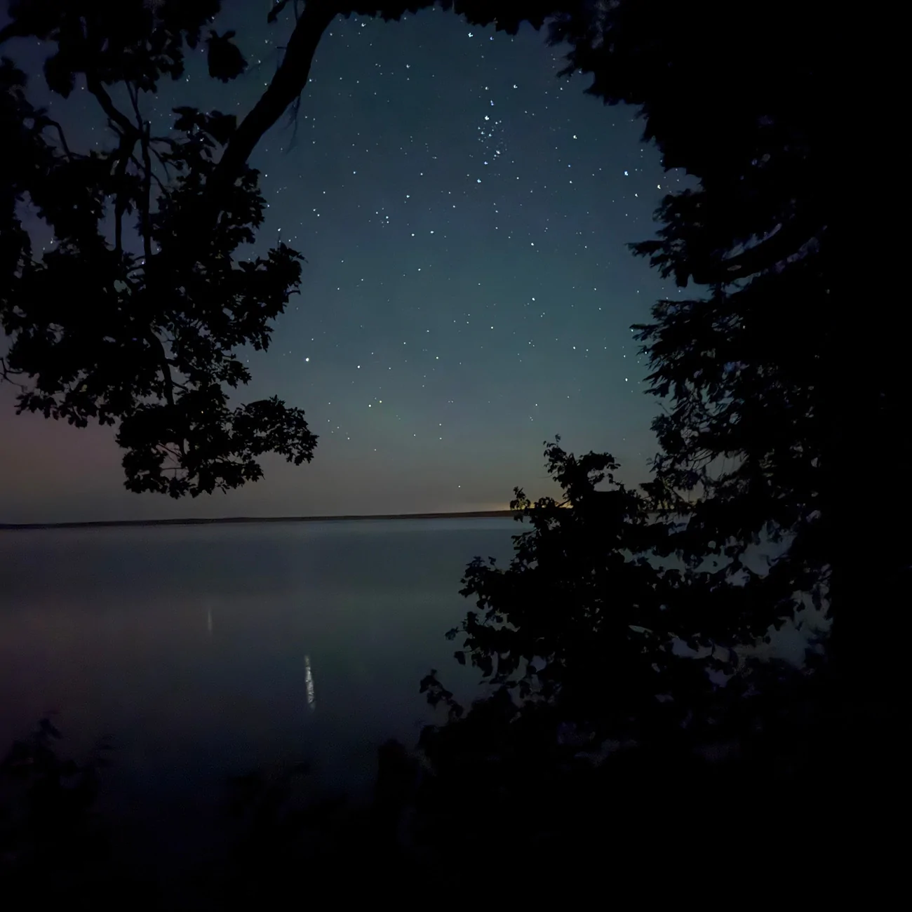
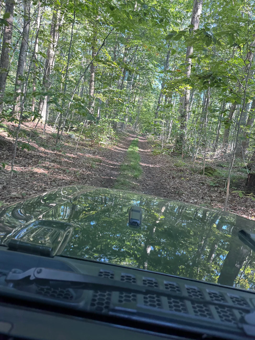
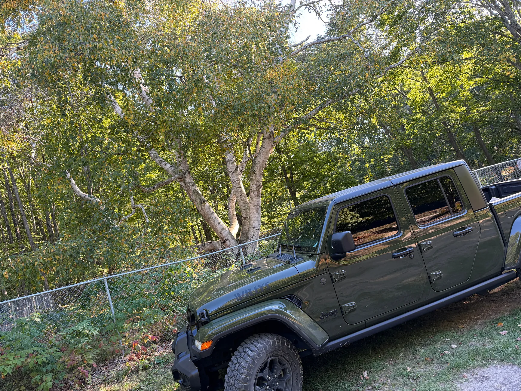
Went Camping at Beaver Island this past weekend, and did unexpectedly my first ORV Trail, well I think it was an old road that isnt used for ORV but the Gladiator made it through. I was nervous - afraid something would break, no service, and no gps! Anything I need to check or if I was able to drive home 300 miles means all is fine?
https://www.trailforks.com/trails/camp-3-trail/
Might not of been this trail becuase again GPS had me derail off this like halfway through idk.
"BUFFALO’S CAMP TRAIL THROUGH DOTY’S CAMP TO MILLER’S MARSH OR
CAMP #3 TRAIL
Until the Johnny Martin’s Trail gets better developed and marked, this trail represents the only way across the center of the island from East Side Drive to West Side Drive.
From East Side Drive, turn onto the road to the north arm of Lake Geneserath (LAKE GENESERATH PUBLIC ACCESS BOAT LAUCH blue sign). Park at the boat launch area and walk back north 0.2 mile to the Buffalo’s Camp Trail sign (0.25 mile from East Side Drive). Or park directly in front of the trail head.
There is also a birding trail sign there. Take the trail west. It is an old logging road and mostly quite wide. In 0.85 mile, cross a large culvert under the trail. In another 0.1 mile,( 0.93 m from start), cross a second culvert over an obvious stream. There are four 4x4 posts at the edges.
At about 1.60 total miles, cross a wooden bridge (about 4 feet wide and long, at the bottom of a rise). Until this point, the trail has been a logging road and quite wide. Now it becomes a single-track. At the top of an immediate Orange Vest (lower) and Vreeland Trail (upper) from south arm of Lake Geneserath to their connections to Graves Road Trail.
Ignore straight line steep rise is the Y (1.7 miles from beginning of trail), a branching point for this trail system. There is now a DNR “NO ORV” sign in front of the 4x4 post.
The signpost at the Y was until 2018 marked “Walking Trail” to the left. The right fork was relatively unmarked. This right fork is the North Lake Trail that gets very wet in 0.6 mile, standing water even in August. It joins Doty’s Camp Trail coming from Doty’s Camp in a total of 1.17 miles from the Y. Going south from this junction on Doty’s Camp Trail, Doty’s Camp is 0.82 mile. Doty’s Camp Trail to the north eventually joins Camp #3 Trail and comes out onto Fox Lake Road. This right (northbound) trail from the Y is now copiously marked with orange diamonds and directional arrows. In just 0.13 mile from the Y it comes to a very large meadow, the trail going to the north around it. At least 0.3 mile of this trail close
to Doty’s Camp Trail is just black muck, even in August.
Take the left fork (formerly labelled “Walking Trail”, now with a white-painted wooden marker), up a slope and then quickly down over a small wooden bridge and across a marshy creek, another tributary of Lake Geneserath. Continue on 0.75 mile through mostly swampy/marshy ground to the MASH sign in a small clearing. This sign indicates the connection to West Lake Trail that leads to the south end of the island and connection through Doty’s Camp to Miller’s Marsh and West Side Drive. In the past this trail was marked was blue swatches on the trees, but these are faded. The last 0.5 mile is wider, but shows
degradation by past ORV abuse digging ruts"
Sponsored