MoparToYou
Well-Known Member
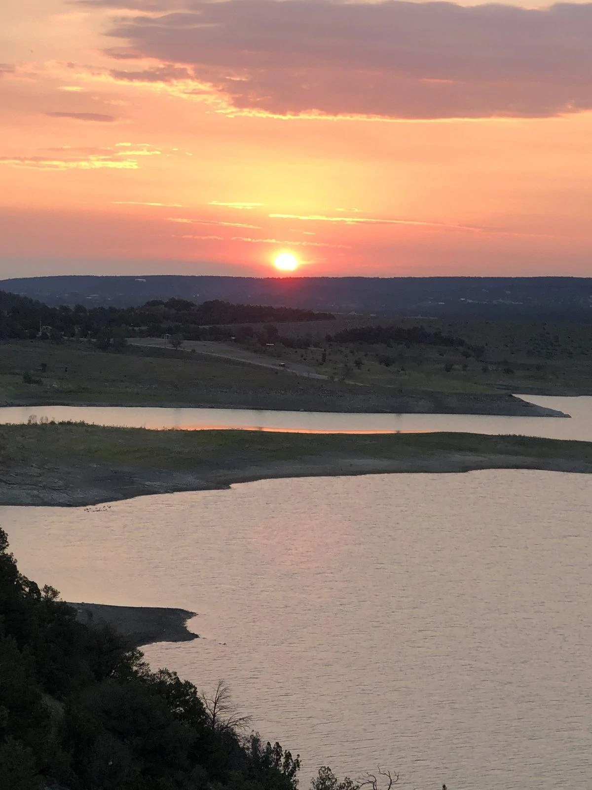
I have now completed 8 days of exploring on the TAT. I started where the trail enters Utah, from Colorado, in the town of Monticello. And I completed the western loop, back to Colorado again.
Day 1: Monticello, UT to Green River UT (173 miles) Pictures in above post
Day 2: Green River UT to Mills Junction, UT (272 miles) Pictures in above post
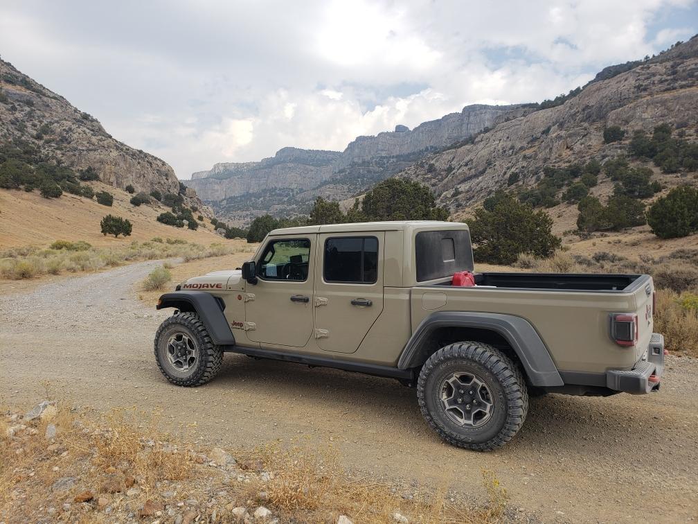
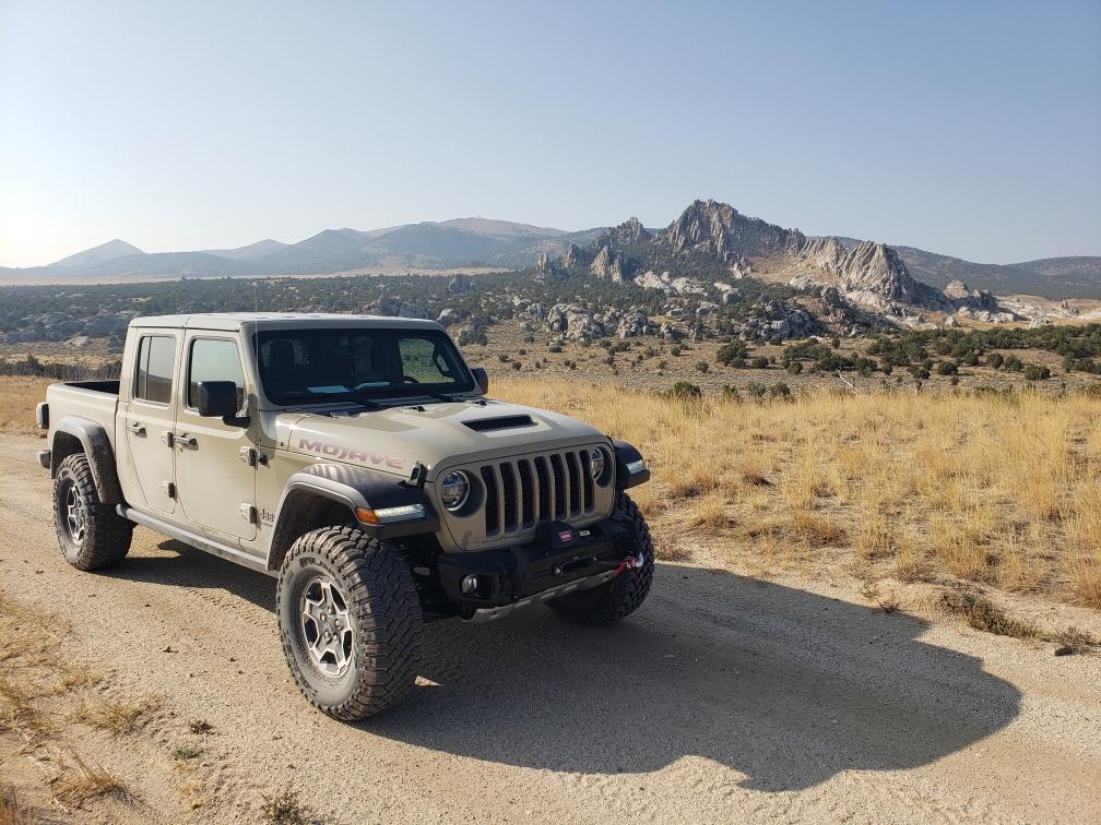
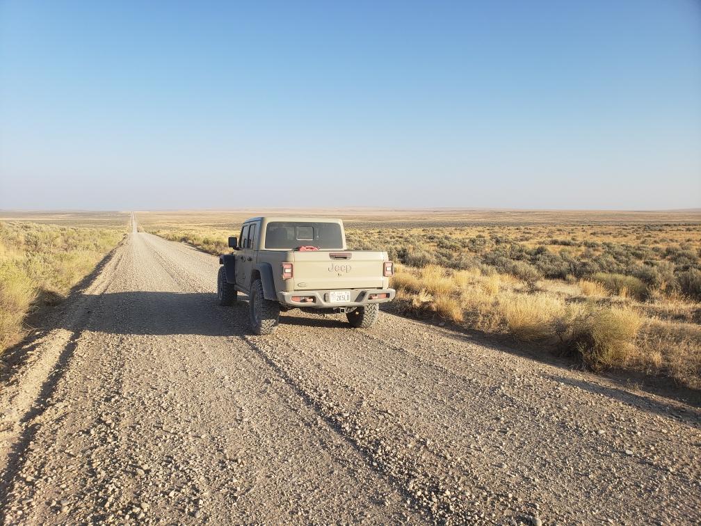
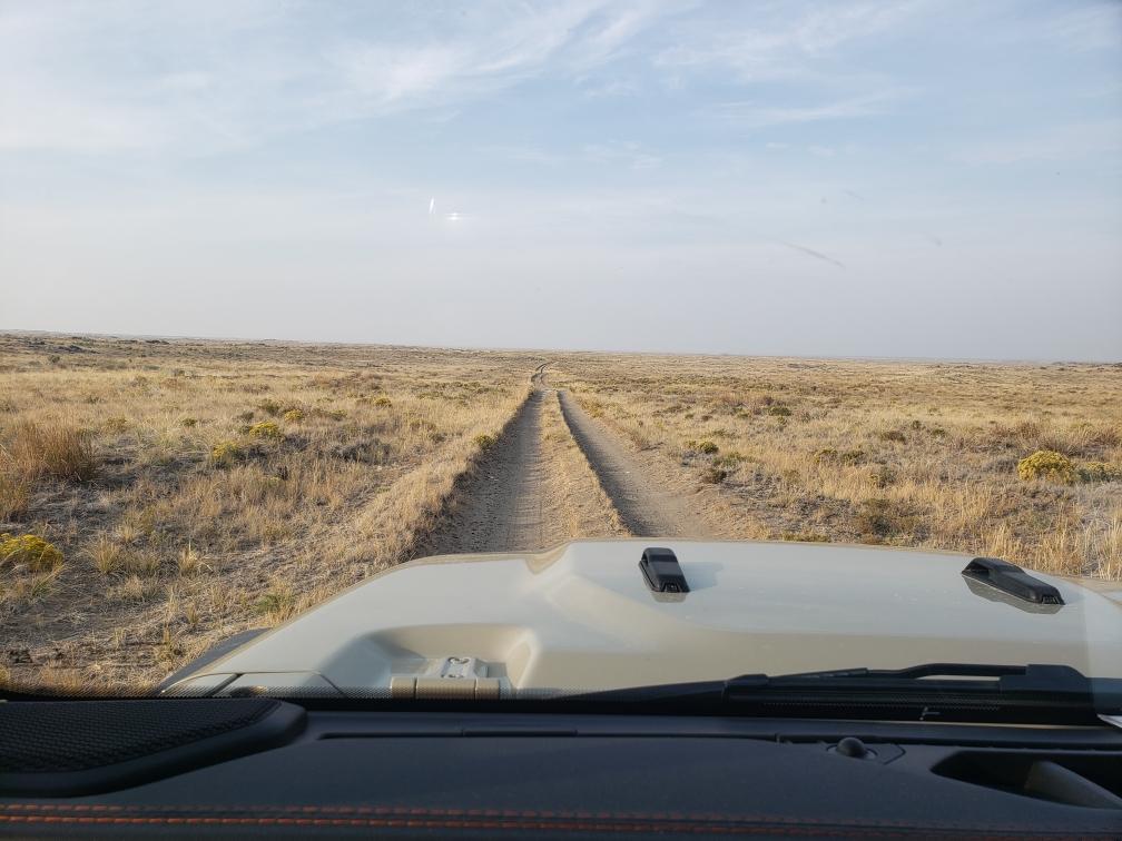
Day 3: Mills Junction, UT to Wendover, NV (310 miles)
Death Canyon, UT

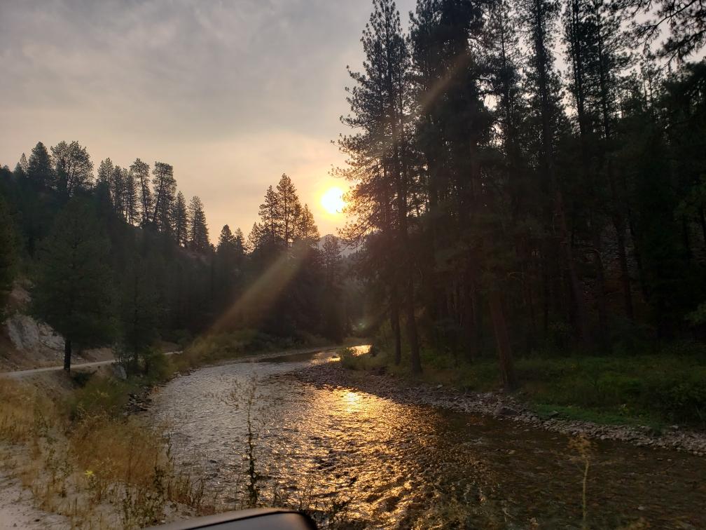
Day 4: Wendover, NV to Twin Falls, ID (352 miles)
Day 5: Twin Falls, ID to Boise, ID (295 miles)
Day 6: Boise, ID to Arco, ID (255 miles)
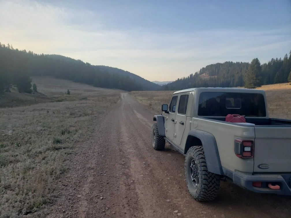
Day 7: Arco, ID to Afton WY (276 miles)
Day 8: Afton WY to Baggs, WY (334 miles)
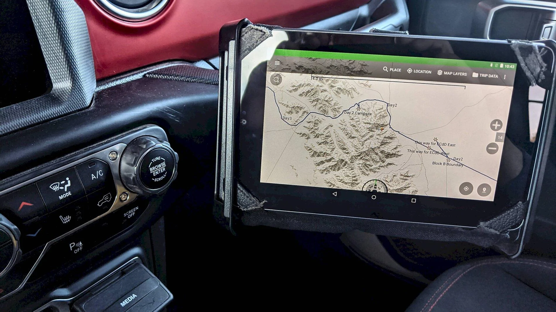
We really enjoyed ourselves. We drove the trail in the daytime, and stayed in motels at night. This is a real adventure people. If you really want to see America, this is the way to do it. Stay off the Interstate highways, and explore the back country. We used both the SD card and the maps that are sold on his web site. Our GPS was a Lowrance Hook 2 Baja 5, which worked fantastic. The OEM navigation system also came in handy when trying to locate a motel. Just type in motels, and hit the search button, and you have a list of them to choose from, with directions on how to get there. Motel rates ranged from free in Wendover Nevada, to $120 in Afton, Wyoming.
Day 1: Monticello, UT to Green River UT (173 miles) Pictures in above post
Day 2: Green River UT to Mills Junction, UT (272 miles) Pictures in above post
Day 3: Mills Junction, UT to Wendover, NV (310 miles)
Death Canyon, UT
Day 4: Wendover, NV to Twin Falls, ID (352 miles)
Day 5: Twin Falls, ID to Boise, ID (295 miles)
Day 6: Boise, ID to Arco, ID (255 miles)
Day 7: Arco, ID to Afton WY (276 miles)
Day 8: Afton WY to Baggs, WY (334 miles)
We really enjoyed ourselves. We drove the trail in the daytime, and stayed in motels at night. This is a real adventure people. If you really want to see America, this is the way to do it. Stay off the Interstate highways, and explore the back country. We used both the SD card and the maps that are sold on his web site. Our GPS was a Lowrance Hook 2 Baja 5, which worked fantastic. The OEM navigation system also came in handy when trying to locate a motel. Just type in motels, and hit the search button, and you have a list of them to choose from, with directions on how to get there. Motel rates ranged from free in Wendover Nevada, to $120 in Afton, Wyoming.
Sponsored