Dougstdig
Well-Known Member
When you start at the billboard, you’ll head south down a long pipeline clearing and depending on the latest rain you can make that as difficult as you want to. I just took my time and looked at the area while I still had light.Nice! I'm going to try to get up there next weekend.
You’ll want to download Avenza Maps if you haven’t already. You can download the map below a head of time and you can track yourself. For the most part, you’ll have no or almost useless cell coverage. Non of the trail should pose an issue for these vehicles with the exception of scratches from limbs. Follow the map!!!
The color make is a pic of the map at the starting point so I could stay on course. At the beginning I shot straight SE to 14 and came back and did the little buy pass when I came back.
The only other place I bypassed was north of the starting point shown the map shed map. When I got to the 9-17.9 where it jumps off the pipeline road “09”. I passed it as it was only visible by a flash of a hidden reflector on the trail stake. This little off shoot didn’t look wide enough for a SxS!
There were a couple of waterholes one you get in the thick forest, but they are small, shallow and with firm bottoms. Foot deep at the most with rain the night before.
![Jeep Gladiator What did you do TO your Gladiator today? [ADMIN WARNING: NO POLITICS, NO GUN TALK] 90C8A8E6-83A3-4706-A3C7-18DC513EA722](https://cdn.jeepgladiatorforum.com/attachments/246/246443-77c2e1e3b84b930c23379d72f271c0df.webp)
![Jeep Gladiator What did you do TO your Gladiator today? [ADMIN WARNING: NO POLITICS, NO GUN TALK] F7081F81-3E14-4FB5-8675-F7D0A3CD4AEB](https://cdn.jeepgladiatorforum.com/attachments/246/246444-b1a2b66c7a515659993f443b58e8c845.jpeg)
![Jeep Gladiator What did you do TO your Gladiator today? [ADMIN WARNING: NO POLITICS, NO GUN TALK] 45BCC20E-336D-4FC0-AB69-2CB8382E91C7](https://cdn.jeepgladiatorforum.com/attachments/246/246447-02df356067b4dbd9efa7b4f107b1fbfd.webp)
Sponsored
![Jeep Gladiator What did you do TO your Gladiator today? [ADMIN WARNING: NO POLITICS, NO GUN TALK] 2CBB9E05-335C-4101-9A27-121121B56A33](https://cdn.jeepgladiatorforum.com/attachments/246/246489-e635af74924bc95aa680b4cd1fcca27d.jpeg)
![Jeep Gladiator What did you do TO your Gladiator today? [ADMIN WARNING: NO POLITICS, NO GUN TALK] 3F0FCD6E-83A3-44F7-8AE0-0E6B898C734A](https://cdn.jeepgladiatorforum.com/attachments/246/246490-048a4984ca9a974a66744ffbe907ae05.jpeg)
![Jeep Gladiator What did you do TO your Gladiator today? [ADMIN WARNING: NO POLITICS, NO GUN TALK] 449F8DF2-5AF3-4365-A9EA-AA93CA1E95EA](https://cdn.jeepgladiatorforum.com/attachments/246/246491-9f048b951ea8852687bbf83f77bb13de.jpeg)
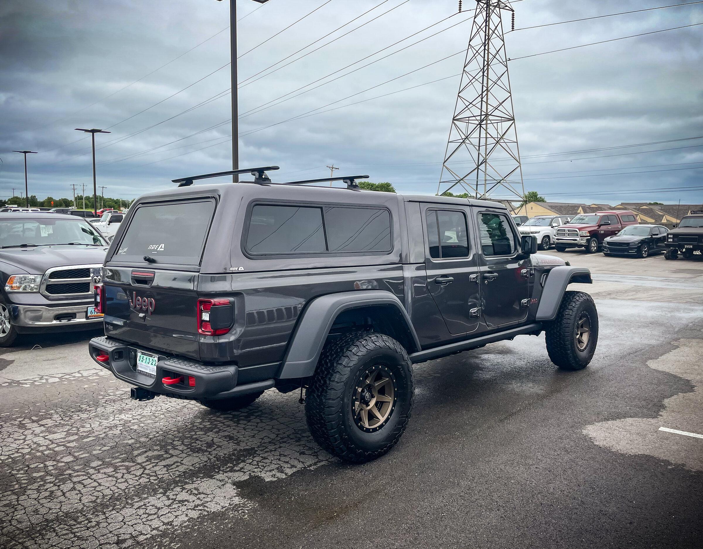
![Jeep Gladiator What did you do TO your Gladiator today? [ADMIN WARNING: NO POLITICS, NO GUN TALK] 67555407794__28A8570B-59F1-4B8B-9A20-9778B4561582](https://cdn.jeepgladiatorforum.com/attachments/246/246506-b0d80cdc635388cd59c55b97afb3bf25.jpg)
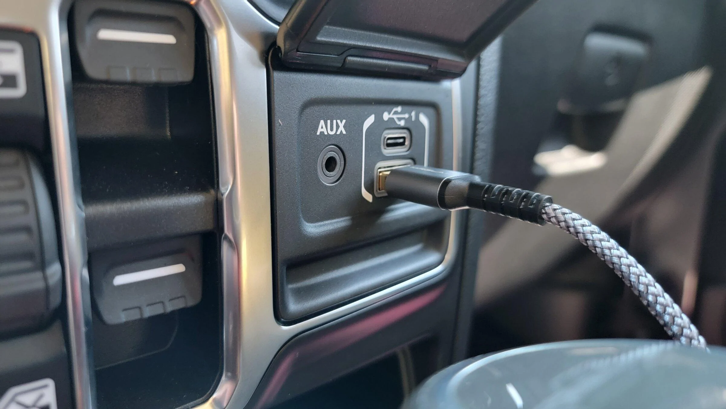
![Jeep Gladiator What did you do TO your Gladiator today? [ADMIN WARNING: NO POLITICS, NO GUN TALK] IMG_0500](https://cdn.jeepgladiatorforum.com/attachments/246/246507-45e0714ed4feb3078f5008feef6101ff.jpg)
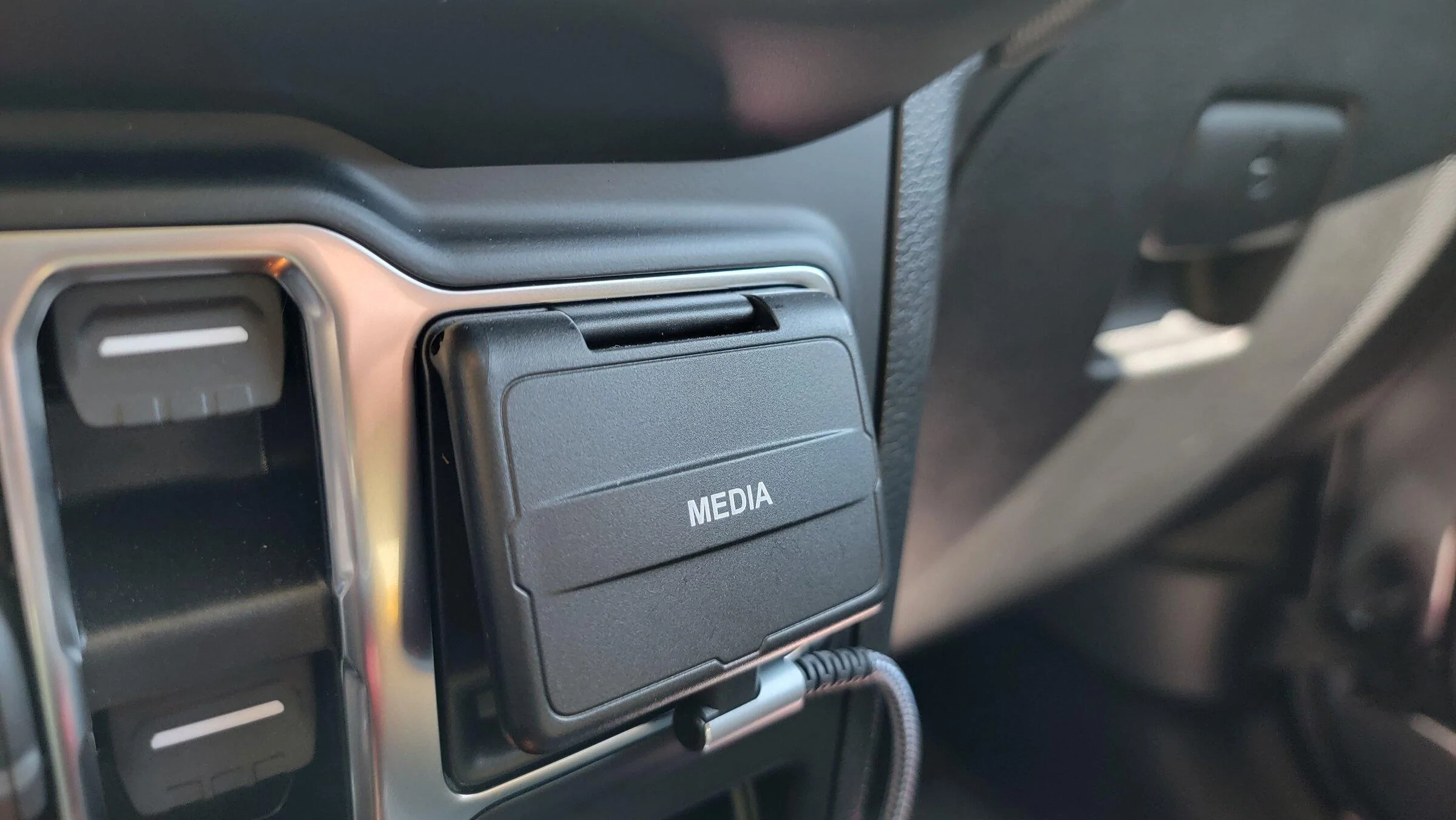
![Jeep Gladiator What did you do TO your Gladiator today? [ADMIN WARNING: NO POLITICS, NO GUN TALK] IMG_0501](https://cdn.jeepgladiatorforum.com/attachments/246/246508-3e00674f7edbcaa9f9887de933125d71.jpg)
![Jeep Gladiator What did you do TO your Gladiator today? [ADMIN WARNING: NO POLITICS, NO GUN TALK] 24AE0BBE-9D14-4CDB-8DAB-62F3A0433427](https://cdn.jeepgladiatorforum.com/attachments/246/246515-33d8027a3bad1bf7605db118cb4e5d4d.webp)
![Jeep Gladiator What did you do TO your Gladiator today? [ADMIN WARNING: NO POLITICS, NO GUN TALK] 892D0279-8D8D-4A3F-983F-2A00D4A3E2C3](https://cdn.jeepgladiatorforum.com/attachments/246/246598-39b1d17f9518bdf56e3b087a542c7b24.jpeg)
![Jeep Gladiator What did you do TO your Gladiator today? [ADMIN WARNING: NO POLITICS, NO GUN TALK] BF5498A5-3107-4614-9923-A2A1D5B934C2](https://cdn.jeepgladiatorforum.com/attachments/246/246599-4f8d7cbda449a47db386f2caf1ee5d7c.jpeg)